
Most visitors stay on Koh Lanta Yai, the larger island of the Koh Lanta archipelago in Krabi province. Its layout is simple: a village and pier at the northern tip, a string of beaches down the west coast, a quieter east coast with Lanta Old Town, and Mu Ko Lanta National Park at the southern end. Route 4245 links them. Below, the landmarks are listed in order, with the distances published by the sources at the bottom of the page.
Summarize this page with AI
How the island is put together
Koh Lanta is a district of Krabi province made up of an archipelago of around 52 islands. The two that matter for most trips are Koh Lanta Yai, the big island where the beaches and hotels are, and Koh Lanta Noi, the smaller island to the north and closer to the mainland. Published dimensions for Lanta Yai vary: sources give 25 km to over 30 km from north to south and 6 km to 8 km across at the widest point.
The main road is route 4245, paved along its whole length. It runs north to south through Sala Dan, Long Beach, Klong Khong and Klong Nin, parallel to the west coast but set back inland, and a cross-island stretch links the west coast to the inland road near the national park. Two inland roads give shortcuts to the east coast, which is lightly built up apart from Lanta Old Town.
Lanta Yai and Lanta Noi are joined by the Siri Lanta bridge, which opened in April 2016 over the Lat Bo Nae river and replaced a slow car ferry between the two islands. There is still no bridge between Lanta Noi and the mainland, so a car ferry remains part of every road journey. A mainland bridge has been contracted and is planned to open in 2029.
The island from north to south
The table follows the west coast in the order you meet each place when driving south from Ban Saladan on route 4245. Distances are counted from the Saladan pier, so the further down the list a beach sits, the longer every trip back to the pier, the shops and the ferries will be. Where two sources publish different figures, both are shown rather than averaged.
The order also sorts the beaches by how built up they are. The northern stretch, Klong Dao and Long Beach, is closest to Saladan's shops, clinics and the island's reference fuel station. Klong Khong and Klong Nin sit in the middle. South of Klong Nin, the coves such as Nui Beach, Kantiang Bay and Bamboo Bay are smaller, some reached by path or long-tail boat, and services thin out towards the national park.
| Landmark | Distance from Ban Saladan Pier | What is there |
|---|---|---|
| Ban Saladan | km 0 – northern tip | Village, main pier, shops, clinic |
| Klong Dao | ~2 km (3 km in another source) | About 2.5 km of continuous sand, the easiest beach to walk |
| Long Beach (Phra Ae) | ~5 km | 3 to 4 km of sand, the busiest stretch |
| Klong Khong | ~10 km | About 3 km of sand, restaurants along the road |
| Klong Nin | ~17 km | 2.5 km of sand, mid-island base |
| Nui Beach | A couple of minutes south of Klong Nin | 265 m of sand, reached on foot down a steep path or by longtail |
| Kantiang Bay | 20 km (27 to 30 km in other sources) | 1 km of sand, about 40 minutes from Saladan |
| Bamboo Bay (Ao Mai Phai) | ~8 km south of Kantiang | Small southern bay on the 4245 |
| Laem Tanod – Mu Ko Lanta National Park | ~30 km (27 km in another source) | Park headquarters, lighthouse, Ta Nod Beach (300 m) |
Distances are measured from Ban Saladan Pier. Where sources disagree, every published value is shown.
Distances and travel times
Published travel times from Krabi International Airport to Ban Saladan vary widely between sources, because the trip combines a road transfer, a wait for the car ferry and the drive across Lanta Noi and the Siri Lanta bridge. The route runs south on Highway 4 to Ban Hua Hin Pier on the mainland, crosses by car ferry to Ban Khlong Mak Pier on Lanta Noi, then continues by road to Lanta Yai.
That land route, by minivan or private car plus the short car ferry, runs all year. The passenger ferries and speedboats from Klong Jilad Pier in Krabi Town to Saladan Pier are seasonal, with published schedules covering November to April. Outside those months, plan on the road route. On the island itself, distances are short on paper, but the single main road means every trip south from Saladan uses the same route.
| From | To | Distance published | Time published |
|---|---|---|---|
| Krabi International Airport (KBV) | Ban Saladan | ~75 km by road, car ferry included | 1 h 30 to 2 h (2-3 h in another source) |
| Krabi Town | Ban Saladan | ~70 km by road | 2 to 4 h with minivan and car ferry |
| Phuket | Ban Saladan | ~150 km to the south-east | ~5 h by road via Ban Hua Hin Pier |
| Ban Saladan | Laem Tanod – national park | ~30 km down route 4245 | ~45 minutes by car |
| Ban Saladan | Lanta Old Town, east coast | ~15 km (16.8 km by road) | – |
| Ban Saladan | Klong Dao | 2 to 3 km | 5 to 10 minutes by tuk-tuk |
One source gives 25 km for the length of Koh Lanta Yai, others 30 km or more; route 4245 runs about 27 km from Saladan to the national park.
Piers and arrival points
There are two ways onto Koh Lanta Yai. By boat, passenger ferries and speedboats from Krabi Town, Ao Nang, Phi Phi and Phuket land at Saladan Pier, at the northern tip, where songthaews wait behind the pier. By road, every vehicle crosses on the car ferry from Ban Hua Hin Pier on the mainland to Ban Khlong Mak Pier on Koh Lanta Noi, then drives over the Siri Lanta bridge and through Ban Saladan before reaching the west-coast beaches.
Lanta Old Town Pier, on the east coast, is a departure point rather than an arrival point for most visitors: express boats leave from there for Koh Ngai, Koh Kradan and Koh Mook. A second, smaller crossing links the east coast of Lanta Yai with Ko Klang and the mainland near Hua Hin Pier. Note that Ban Hua Hin Pier is in Krabi province and has nothing to do with the town of Hua Hin.
| Crossing | Type | Time published | What goes through it |
|---|---|---|---|
| Ban Hua Hin Pier (mainland) – Ban Khlong Mak Pier (Koh Lanta Noi) | Car ferry | ~10 minutes (about 20 minutes in another source) | The only crossing for vehicles; queues of over an hour in high season |
| Koh Lanta Noi – Koh Lanta Yai | Siri Lanta bridge, 650 m | ~5 minutes by road | Cars, scooters and pedestrians since it opened on 22 April 2016 |
| Klong Jilad Pier (Krabi Town) – Ban Saladan | Passenger ferry | 1 h 30 to 2 h | Foot passengers, from about 350 to 500 THB, November to April |
| Ao Nang | Speedboat or minivan plus speedboat | – | Announced at 650 THB for the transfer |
A second bridge to the mainland, about 2.5 km long, is under construction with service expected in 2029.
What a map of Koh Lanta does not show
A tourist map shows beaches and viewpoints, but not the places you need when something goes wrong or runs out. The island's only public hospital is Koh Lanta Hospital, and there is no hospital on the southern coast: serious cases are transferred to Krabi Hospital or a private hospital in Phuket. The emergency numbers are 191 for police and 1669 for an ambulance.
Fuel, scooter rental and shopping all concentrate in the north, around Saladan, so fill up and stock up before heading south. There is no airport on the island, and Grab does not operate on Koh Lanta: getting around means songthaews, taxis, tuk-tuks or your own rented scooter or car, driving on the left on a main road shared with trucks.
Using this map to plan
Start with the arrival point. Coming by boat in season, you land at Saladan Pier; coming by road, you pass through Saladan anyway. Then pick a base along the north-to-south list: the further south you stay, the longer each run back to the pier, the fuel station and the shops, and the closer you are to the national park and the southern coves.
For a trip that covers the whole island, a common approach is to split it: a few nights in the north, around Klong Dao or Long Beach, then a move south to Kantiang Bay or nearby, which puts Laem Tanod within a shorter drive. The pages below cover the transport options and where to stay in each area.
Frequently asked questions
The beaches run along the west coast of Koh Lanta Yai. From north to south: Klong Dao, Long Beach (Phra Ae), Klong Khong, Klong Nin, Nui Beach, Klong Hin, Kantiang Bay, Ao Nui, Klong Chak and Bamboo Bay, with the national park at the southern tip.
Sources give about 45 to 60 minutes of driving without stops from Ban Saladan in the north to the entrance of Mu Ko Lanta National Park in the south. The whole trip follows route 4245.
The road route, by minivan or car with the short car ferry from Ban Hua Hin Pier to Lanta Noi, runs all year. Passenger ferries from Krabi Town to Saladan Pier run in season, with published schedules covering November to April.
Ferries and speedboats land at Saladan Pier, at the northern tip of Koh Lanta Yai. By road, vehicles arrive on Koh Lanta Noi at Ban Khlong Mak Pier, cross the Siri Lanta bridge and pass through Ban Saladan.
Grab does not operate on the island, so the alternatives are songthaews, taxis and tuk-tuks, or renting a scooter or car. Rental shops cluster around Saladan and Klong Dao, and traffic drives on the left on a main road shared with trucks.
The north, around Klong Dao and Long Beach, is closest to Saladan's pier, shops, clinics and 24-hour fuel station. The south, from Kantiang Bay down, has smaller coves and sits closer to the national park, with fewer services and no hospital.
Sources and further reading
- Tourism Authority of Thailand – Ko Lanta
- Wikipedia – Ko Lanta Yai
- Wikipedia – Mu Ko Lanta National Park
- Wikivoyage – Ko Lanta
- Thai National Parks – Mu Ko Lanta National Park
- Lanta.wiki – island reference
- Lanta News – ferries to Koh Lanta
- Thailand Where Stay – getting to Koh Lanta and around
- FerryScanner – Krabi Town to Saladan Pier
- Easy Day Thailand – the Lanta Noi / Lanta Yai bridge
Tours that fit this plan
See all tours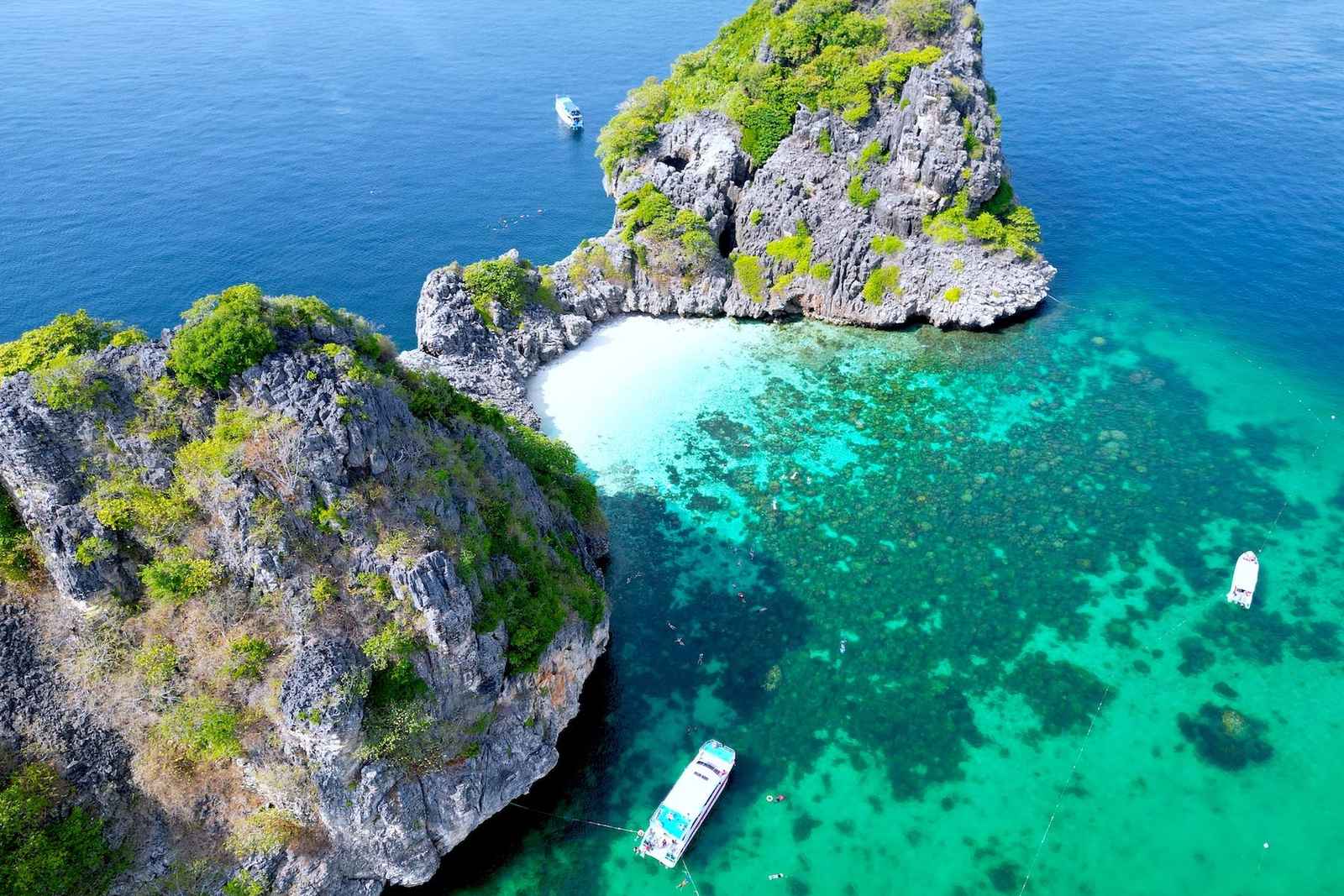 Snorkeling pickFrom US$47
Koh Rok & Koh Haa Snorkel Tour with Lunch Buffet
- 4.7★ from 650 reviews
- Snorkel at Koh Rok and Koh Haa, two of the best reef spots near Koh Lanta, lunch buffet included
Best for: Snorkelers who want the classic Koh Rok / Koh Haa day out
Check availability & price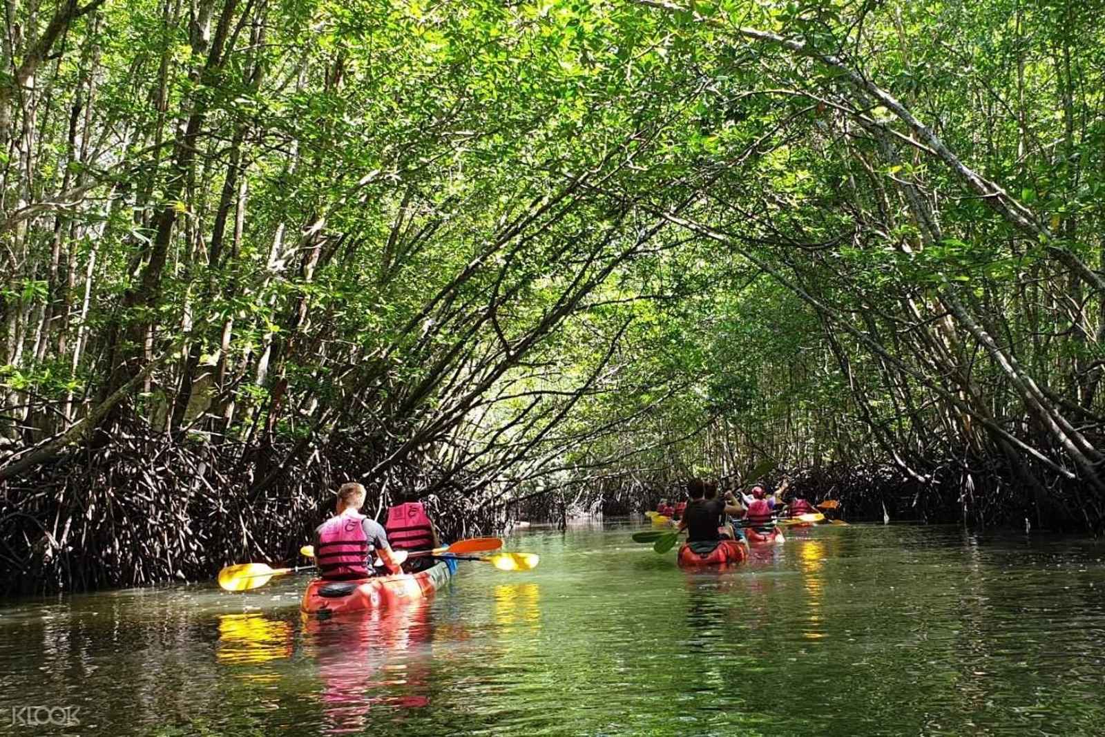 Most bookedFrom US$24
Half-Day Mangrove Kayaking Tour with Lunch
- 1,088 reviews at 4.7★: the island's most-reviewed mangrove tour
- Half-day kayak through the Thung Yee Peng mangrove tunnels, lunch included
Best for: First-timers who want one easy, well-reviewed mangrove morning
Check availability & priceKeep planning your trip
Best Koh Lanta tours
Our ranked picks for day trips and activities
Best beaches
Compare the main beaches, north to south
Where to stay
Compare zones, prices and search hotels
Not sure where to start? Plan my trip →